Learn how to verify video location using visual clues like street signs, architecture, sun angles, and map comparisons to spot relabelled footage.
This article was researched and drafted with AI, then checked and released by a person before it went live. The illustration is AI-generated. Every factual claim links to its source, so you can verify it yourself.
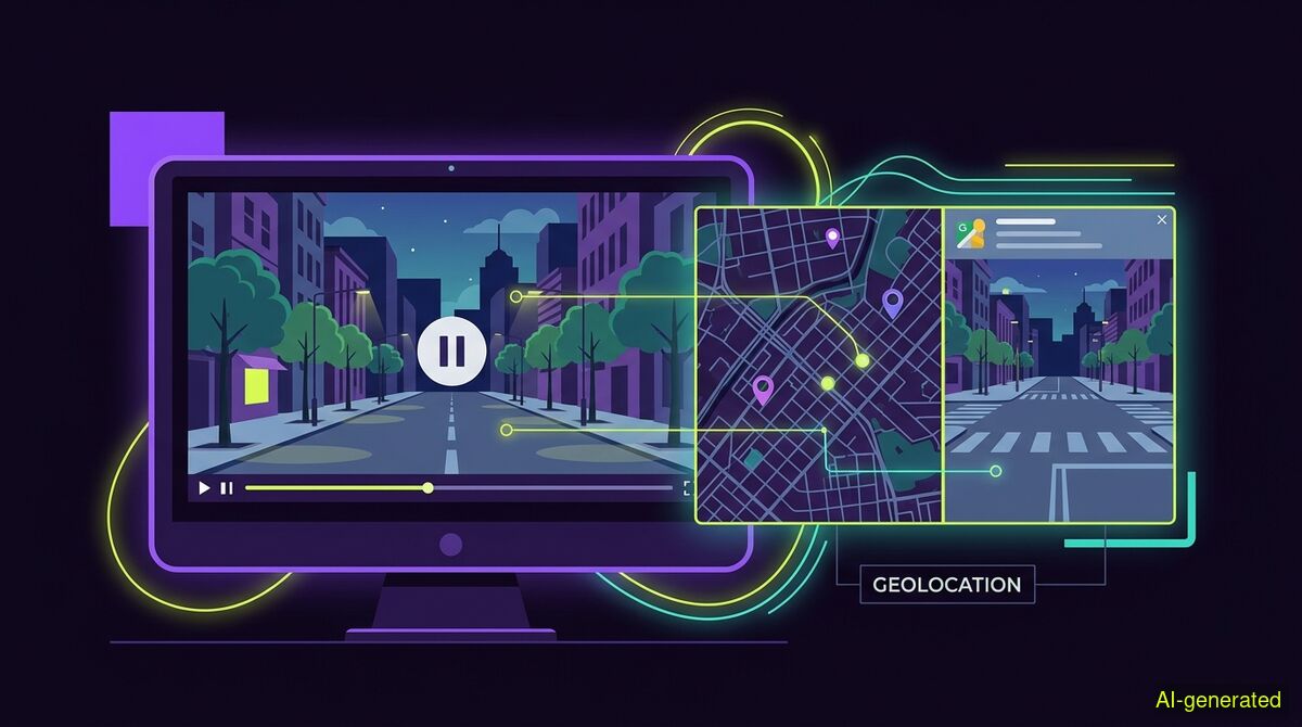
AI-generated illustration. A computer monitor showing a paused video frame next to a split screen with a digital map and a street view comparison.
To verify where a video was filmed, you must extract clear still frames, inventory visual clues like street signs and architecture, and confirm the hypothesis against map reference imagery. Most social media platforms strip location metadata, making visual geolocation the only reliable way to prove where an event happened.
When a breaking news event floods social media, the most common deception is not a deepfake. It is old footage relabelled as new, or footage from one country claiming to show an event in another. To verify video location, you cannot rely on the hidden technical data attached to the file. Social media platforms automatically strip EXIF metadata during the upload process to protect user privacy. This means the exact GPS coordinates recorded by the camera are erased the moment the clip hits a feed.
Technical workarounds offer little help. As MaxIntel reported, IP geolocation provides excellent country accuracy but only identifies the correct city about 66 percent of the time. Virtual private networks, mobile networks, and content delivery systems degrade this precision even further. If you want to know where a video was actually filmed, you have to look at the pixels. Visual geolocation is the process of determining where footage was recorded by matching clues inside the video to a real place, independent of metadata.
A sound geolocation workflow runs in a strict order. According to GeoSpys, investigators should check metadata, search for existing copies, read visual clues, form a hypothesis, and then verify it against reference imagery. Skipping straight to a map produces confident answers that are often wrong.
The first step is to extract several clear still frames from the video. Once you have still images, you build an inventory of every distinguishing feature. As DetectVideo outlines, these clues include street signs, road geometry, buildings, transit systems, mountains, coastlines, utility poles, storefronts, and vegetation. You are looking for details that narrow down the geography.
Do not ignore the audio and text overlays. When a video caption provides no location tag, the place is usually still identifiable in the video itself. The team at ReelMap suggests pausing on menus and street names, listening for a spoken name, and checking the comments. Small background sounds, local dialects, and distinct transport vehicles all serve as regional anchors. As City Guesser notes, a city reveals itself through road signs, building styles, weather, and landmarks.
Before spending hours matching architecture to satellite maps, you should check if someone else has already published the footage. Earliest appearance is the strongest defense against relabelled video. You can run the extracted still frames through reverse image search engines to identify original uploads and possible duplicates.
If you need a structured provenance report, the free wyper web app handles text fact-checking, but video provenance requires a different approach. The wyper AI Spotter is available on paid plans for 4 credits per video. It never outputs a percentage of how "AI-ish" something looks. Instead, it takes still frames from the video and searches each one separately. A hit on any frame is a hit on the video.
The report checks content credentials verified against 55 official trust anchors, file metadata, reverse image search, earliest documented publication, and quote verification. It is important to note how content credentials work. A digital signature sits in its own box beside the picture data. Any repackaging drops it completely. Because platforms repackage files on upload, the content credential layer will almost always find nothing on a video taken off a social feed. The report states this clearly: finding no signature is the normal case, not a suspicion. What carries the weight for video verification is the earliest appearance and the gap between the event date and the post date.
Once you have an inventory of clues, you can form a hypothesis about the location. The goal is to generate candidate locations using text and landmarks, then compare them to reference imagery. You are not just looking for a street that resembles the video. A precise match must explain the scene's geometry entirely.
OSINT Combine highlights the importance of analyzing traffic directions, pedestrian activity, traffic lights, road markings, and flags. If the video shows cars driving on the left, you immediately eliminate the majority of the world. If the road markings feature a specific yellow dashed line, you can narrow the search to specific national highway standards.
You then take these candidate locations to map platforms. Satellite imagery provides the foundational layer for geographic verification. You compare the roof shapes, the road curves, and the distance between landmarks in your video to the satellite view. Street-level data from platforms like Google Street View provides detailed location confirmation from a human perspective.
Geolocation often overlaps with chronolocation. As Intelligence Notes explains, chronolocation is the complementary process of determining when the content was captured. Together, they form the forensic backbone of open-source verification.
If a video claims to show a morning protest in London, the shadows must match an eastern sun angle. EspectroSINT details how solar angle calculations mathematically verify photo timestamps and location orientation. By knowing the date and the exact geographic coordinates, you can calculate precisely where a shadow should fall at a given time. If the shadows in the video point the wrong way, the claim about when it was filmed is false, regardless of whether the location matches.
While AI models can assist in finding landmarks, the final verification step remains manual. When you use the wyper extension to fact-check a claim, it returns a truth score of 1-10 plus an evidence chain of real, linked sources based on a Dual-AI cross-check using Gemini and Grok.
For video content, the extension uses subtitles when reachable. When subtitles are not available, an AI model actually watches the video within a time window. This window is 10 minutes on the free tier and 30 minutes on Pro for YouTube. For videos on X, it checks up to 2 minutes on the free tier and 7 minutes on Pro. Longer videos on X are refused outright rather than partially checked. The extension does not run deepfake pixel forensics, and it never judges intent. It simply verifies the claims being made, leaving the final judgment of trustworthiness entirely to the reader.
| Feature | Manual checks | wyper web app | wyper extension |
|---|---|---|---|
| Text fact-checking | Search engine research | Free tier available | Free tier available |
| Video claim verification | Watch and transcribe | Text claims only | Subtitles or AI watch window |
| Video provenance (AI Spotter) | Reverse image search frames | Paid tier (4 credits) | Paid tier (4 credits) |
| Architecture and map matching | Street-level imagery tools | Not applicable | Not applicable |
| Data privacy | Nothing installed | No install required | Runs in active browser tab |
Who needs which: Manual checks are necessary for researchers who want to mathematically calculate shadow angles or match roof geometry on a satellite map without spending money. The wyper web app is for users on any device who need to quickly verify a text claim or run a provenance check on a video file without installing software. The wyper extension is for desktop browser users who want to verify video claims directly in their feed, utilizing the AI watch window to check footage exactly where they encounter it.
Verifying a video location requires ignoring missing metadata and focusing purely on visual evidence like street signs, road markings, and architecture. By extracting still frames and comparing the visible geometry against satellite maps, you can accurately place footage in the real world. Earliest appearance checks remain the most reliable way to spot old videos relabelled as breaking news.
The wyper Fact-Check extension runs these checks on the post itself: truth score, evidence chain, and the date gap that catches recycled footage.
The web app installs to your home screen in one tap. No store, no account.
Already using it? ★★★★★ Rate it on the Chrome Web Store. Reviews decide what others get shown first.
 wyper